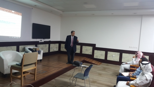
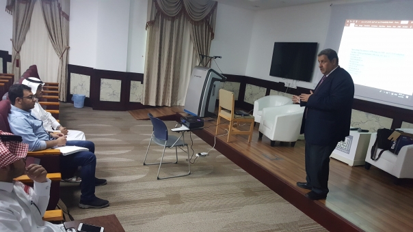
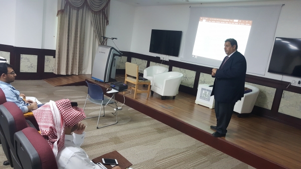
Introduction to Remote Sensing and GIS
Due to the importance of new technologies such as Remote Sensing and Geographic Information Systems (GIS) in the design and implementation of Civil Engineering projects and Surveying. In fact, it is certain that the graduate of Civil Engineering in the College of Engineering at King Khalid University in Abha can easily take place in the labor market by gaining technical skills in specialization and self-development with the skill of these new technologies required in foreign and national companies.
2 - What are the plausible objectives of such training?
To achieve the vision of the College of Engineering and the Civil Engineering Department within the vision of King Khalid University within the vision of the Kingdom of Saudi Arabia 2030 by intensifying the training courses for Graduates to prepare them to the job market or to pursue postgraduate studies and the following objectives:
Strengthening the ratio of new technologies in the curriculum of College of Engineering;
Training involves new technologies allows to gain time and effort during the implementation of each Civil Engineering Projects;
Prepare the Graduate to the practical life without any going back after graduation to re-train;
Through the community service mechanism, these skills can be introduced to serve the local government and private sectors.
3 - Benefit and Purpose of this Remote Sensing and GIS Training
Due to the importance of all courses taught by the Graduate in Civil Engineering Department towards the different specializations that enable him to obtain the certificate of Civil Engineer, it is difficult to delve into any given specialization in hoe he can earn all the skills so we highlight the importance of this course and the goal in the following:
To establish the importance of this course in adopting positive theory in learning;
This course intersects with other courses related to the updating of Spatial data;
Enabling the Graduate with the necessary skills to prepare for the adoption of these new technologies in the remainder of his University studies. In fact, graduation project inspired by the actual projects in the public or private sectors and facilitate the integration of Graduates in the labor market.
4 - New in this Remote Sensing and GIS Training
This course offers the Graduate of Civil Engineering how he can develop his knowledge by taking into consideration new technologies and how to upscale to a high level of knowledge that leads him to win the future job or continue his postgraduate studies:
5 - Methodology and Procedures to follow
Through this training, Graduates learn the scientific methodology and digital methods used in Remote Sensing and GIS applications. The most important of these methods are:
To learn how to collect geo-spatial data from international web site;
Training on how to visualize the geo-spatial data by Remote Sensing and GIS Software;
Training on how to import and export geo-spatial data from each software to another;
Training on how to enhance the quality of satellite images using each software;
Training on how to make geo-processing using each software to produce thematic mapping;
Ensure that the content of any course does not mean that you become an expert, but a first step for more improvement.
6 - Expected Results
Through this Remote Sensing and GIS Training, the faculty member of this training and the Civil Engineering Department want to reach the following results:
To push the Graduate to more knowledge in specialized disciplines, especially those that rely on new technologies;
To instill in the Graduate the idea of perseverance and excellence in earning skills and self-development by adopting the methodology of integration between classical methods and new technologies to win the future job.
English
